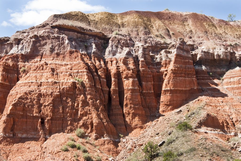
History of Palo Duro Canyon:
Evidence of human habitation of the canyon dates back approximately 10,000–15,000 years, and it is believed to have been continuously inhabited to the present day. Native Americans were attracted to the water of the Prairie Dog Town Fork, Red River, as well as the consequent ample game, edible plants, and protection from weather the canyon provided.
The first European explorers to discover the canyon were members of the Coronado expedition, who visited the canyon in 1541. Apache Indians lived in Palo Duro at the time, but they were later displaced by Commanche and Kiowa tribes, who had the advantage of owning horses brought over by the Spanish. They had contact with traders, called Comancheros, in nearby New Mexico.
A United States military team under Captian Randolph B. Marcy, mapped the canyon in 1852 during their search for the headwaters of the Red River. The land remained under American Indian control until a military expedition led byColonel Ranald S. Mackenzie, was sent in 1874 to remove the Indians to reservations in Oklahoma. The Mackenzie expedition captured about 1,200 of the Indians' horses and destroyed them in nearby Tule Canyon. The Comanche and Kiowa conceded and left the area.
Soon after, in 1876,Charles Goodnight, and a wealthy Englishman named John Adair established the J.A. Ranch in Palo Duro Canyon. Col. Goodnight helped manage the ranch until 1890. Over the next half century, the canyon remained in private hands, but was an increasingly popular tourist spot for local residents.
In 1931, a major landowner signed a two-year contract with the local chamber of commerce to allow public access to the canyon. The upper section of the canyon was purchased by the State of Texas in 1934 and turned into the 20,000 acres (8,100 ha) Palo Duro Canyon State Park. Amarillo is the largest city near Palo Duro Canyon State Park, but the smaller city of Canyon, Texas is nearer.
Information provided courtesy of wikipedia.org and has been published under the Creative Commons Attributions - Share Alike License.
Palo Duro Canyon State Park Trails Map:
http://tpwd.texas.gov/publications/pwdpubs/media/park_maps/pwd_mp_p4506_0007p.pdf
